
Dayton ZIP Code Directory Coverage
These Dayton ZIP code entries are postal orientation, not promises of a neighborhood or city boundary. The City’s neighborhood and ZIP map dates to 2006 and is useful for orientation only. Use the United States Postal Service to validate a complete delivery address, then check the parcel and GIS record to determine the physical location and jurisdiction. Some rows group an adjacent range because the research documents it as a regional label rather than an exact route-by-route assignment.
| ZIP | Area orientation | Post office reference | Records note |
|---|---|---|---|
| 45401 | Central facility orientation | Main Office, 1111 E. Fifth St. | Verify the exact delivery address. |
| 45402 | Downtown and Mid City | Mid City station, 36 N. Ludlow | Core City-office ZIP, not a planning boundary. |
| 45403 | Inner east and Burkhardt-Springfield-Huffman-side orientation | Not separately documented | Crosses neighborhoods. |
| 45404 | Old North Dayton, McCook Field, northeast | North Dayton station | Postal zone, not a neighborhood line. |
| 45405 | North Main, Forest Park, Five Oaks orientation | Forest Park station | Broader than a historic district. |
| 45406 | Dayton View, Five Oaks, west-northwest | Dayton View station | Not coterminous with Dayton View boundaries. |
| 45408 | City-map and current-data label | Exact route not independently verified | Validate a delivery address. |
| 45409 | South Dayton, University Park, Carillon, Oakwood edge | Not separately documented | Oakwood overlap makes City inference unsafe. |
| 45410 | Belmont, Twin Towers, Walnut Hills, Linden Heights | Not separately documented | Neighborhood and delivery geography differ. |
| 45414-45416 | North and northwest edge with adjacent areas | Not separately documented | Includes county and adjacent municipal geography. |
| 45417 | West Dayton, Wright-Dunbar, Edgemont | Paul Laurence Dunbar station | Broader than the historic district. |
| 45418-45420 | Southwest and east-southeast regional labels | Dabel station in 45420 | Check parcel jurisdiction. |
| 45424 | Dayton mailing label | Huber Heights station | Mailing city is not municipal residence. |
| 45426 | Dayton mailing label | Trotwood station | Mailing city is not municipal residence. |
| 45427-45428 | City regional map labels | Not separately documented | Do not promise City-wide coverage. |
| 45430-45433, 45439 | Edge, adjacent, or institutional context | Not separately documented | Treat as adjacent until USPS and parcel verification. |
| 45469 | University of Dayton | Institutional route | Unique-code candidate; it does not establish City residence. |
The table intentionally does not call any row a citywide resident list. A ZIP guides a postal search. It does not prove a municipal boundary, neighborhood membership, or a person’s location. That restraint matters most at the City edges and at institutional routes.
Downtown Dayton ZIP Code Orientation
The central ZIPs show why a ZIP code directory needs an address-level check. ZIP 45401 is associated with the Main Office at 1111 E. Fifth Street and is described as a facility or central code. ZIP 45402 orients to Downtown and Mid City, with the Mid City station at 36 N. Ludlow. Neither designation is a planning boundary. A search that starts with either code still needs an address match before it is connected to a parcel, street, or municipal jurisdiction.
The Census QuickFacts display for Dayton supplies city-level context, but its municipal figures are not ZIP-level delivery data.
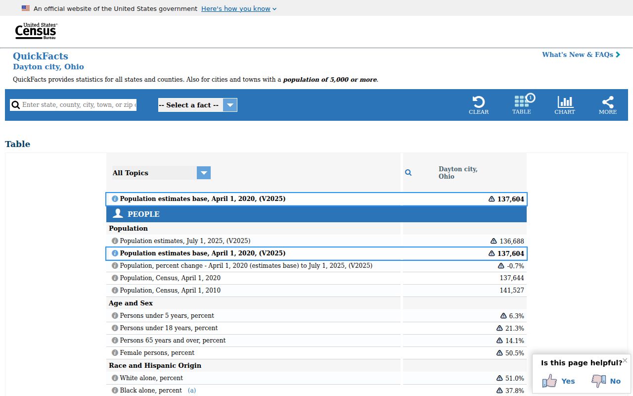
Keep city statistics separate from postal geography, since one ZIP can reach outside the City and a City address can sit near a postal edge.
Dayton ZIP Code Directory Search Route
There is no documented public Auditor or GIS ZIP filter and no documented ZIP-wide owner or resident search for Dayton. Do not claim otherwise. The supported route works one address at a time: validate delivery through the USPS address lookup, recover the parcel in the Auditor system, then inspect the parcel and jurisdiction in GIS. This is an address-to-parcel process, not a way to create a ZIP-wide people list.
- Enter the complete delivery address in USPS and retain the returned mailing city and ZIP as postal information.
- Open the MCRealEstate Property Search and use Address search with street number and street name. The county instructs searchers to omit direction and suffix.
- Preserve the parcel ID, situs address, tax year, owner fields, legal description, and any sale or deed reference that the result shows.
- Use the Montgomery County Auditor GIS to examine the parcel’s physical context and jurisdiction. The County does not warrant GIS accuracy, so it is not a survey or title opinion.
Once the address and parcel are established, the Dayton street directory is the appropriate place for a fuller address-based record trail. Ohio Voter Search is a named-person tool that requires first name, last name, and county. It does not provide a ZIP browsing function or a list of everyone in a postal area.
| Street Number | Auditor address-search field for the house or building number. |
|---|---|
| Street Name | Auditor address-search field; partial strings can work. Try documented variants such as 3rd or Third if needed. |
| Tax Year | Available in the Auditor search to identify the tax-year context. |
| Parcel ID | A shared identifier for property, tax, GIS, and recorded-trail research; enter spaces exactly when searching by parcel. |
Dayton ZIP Code and Address Grid
Main Street is Dayton’s north-south baseline and Third Street is its east-west baseline under City Code Chapter 152. Street numbers run away from those baselines. Even numbers fall on the south side of east-west streets and the east side of north-south streets, while odd numbers fall on the opposite sides. City rules allow 100 numbers per block and permit a number or whole street to be readjusted. For a ZIP code search, those components can resolve why two records look alike but do not name the same parcel.
Keep street number, pre-direction, street name, suffix, post-direction, subdivision, city, ZIP, tax parcel, full address, and alternate address distinct in a research log. The Auditor asks users not to type direction or suffix in its address input. If a USPS match and property result differ, compare the parcel ID and street components before deciding that either source is wrong.
Note: Main and Third often explain a Dayton address more accurately than a ZIP label does.
Dayton ZIP Code City Limit Mismatches
A Dayton postal label can extend beyond the City of Dayton. ZIP 45424 uses the Huber Heights station, and 45426 uses the Trotwood station. In the south, 45409 includes Oakwood and 45419 overlaps Kettering and Oakwood. ZIP 45469 is the University of Dayton’s institutional route. These examples mean a postal city is not a municipal-residence conclusion. Confirm the particular parcel and its jurisdiction before making a City claim.
Boundary check. A Dayton ZIP code can orient an address and verify delivery, but it cannot prove a corporate boundary, neighborhood membership, or a person’s location.
- ZIP and ZIP+4
- A ZIP identifies a broad postal area. ZIP+4 adds a more specific delivery segment, but it is still postal routing rather than a parcel boundary.
- PO-box ZIP
- A postal code used for post-office-box delivery. It should not be treated as a physical residence address.
- Unique ZIP
- A code used for a particular institution or high-volume recipient. Dayton’s 45469 is an institutional example.
- Carrier route
- A postal delivery sequence used for mail handling. It is not a municipal district or a public roster of occupants.
Dayton ZIP Code History Clues
Old and current addresses can differ for reasons a ZIP code cannot explain. Belmont, Hearthstone, Patterson Park, and Shroyer Park were annexed in 1930. Eastmont was annexed in 1955, the Dayton View Heights area in 1908, and a Germantown Meadows, Soldiers Home, and West Carrollton annexation is dated 1976. A 2023 Bainbridge-to-Engagement-Lane change is a practical cue to test both street names. Use the legal description and parcel identifier when a historic address no longer matches a modern label.
Dayton’s original Cooper plats of 1802, 1805, and 1809 created a wide-street grid, while later streetcar and industrial growth introduced less regular plats. Planning districts and historic districts may describe a location better than a ZIP. For historic address research, pair the appropriate era source with the parcel rather than forcing modern postal geography onto older material.
ZIP Code Limits on Dayton Records
Postal geography also does not select a court, clerk, or record custodian. Court access follows jurisdiction and case type, not the ZIP written in an address. The Ohio Supreme Court’s public docket search is an example of a statewide appellate channel, separate from Dayton Municipal Court and Montgomery County PRO. Use a court name, division, case number, party, or date when the question concerns a case. A ZIP code directory can help orient an address, but it is not a case-search field.
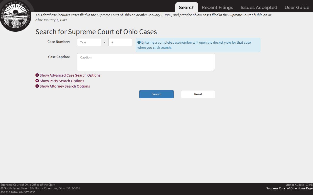
The court search is a separate official channel, so preserve the postal result and the court identifier as different facts.
The Ohio Vital Statistics service is likewise statewide and uses its own record and event details rather than a ZIP-wide search.
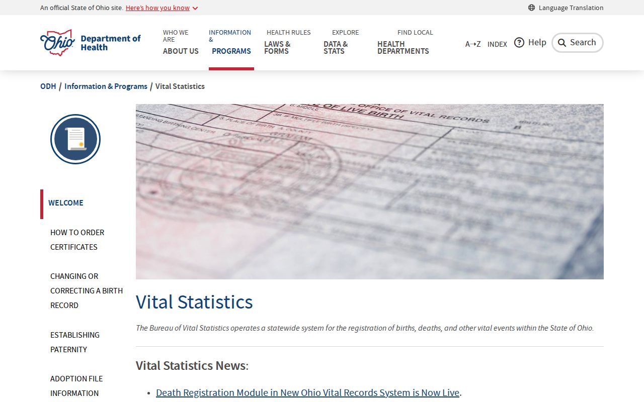
Use a ZIP with the exact address for postal validation, then use the custodian’s own identifiers for a vital, court, parcel, or map record.