
Dayton Neighbor Record Sources
For Dayton neighbors, the useful public trail is a collection of block records, not a household directory. The Montgomery County Auditor map gives the geographic starting point. The Auditor and Treasurer then offer parcel and tax context, while the Recorder supplies recorded transfer material for selected lots. Ohio's voter tools are designed for a named person and county, not for browsing an address radius. The City Resource Directory adds public civic contacts, but it does not identify association members or every household on a block.
| Block Source | What It Shows | Access |
|---|---|---|
| Auditor GIS and MCRealEstate | Parcel geography, nearby property records, and selected parcel details. | Map context only, not a legal survey or a list of residents. |
| Recorder RISS | Recorded owners, transfers, plats, and other documents around selected parcels. | Check the official image, books, or Archives for an important fact. |
| Treasurer tax search | Tax-year parcel and owner context. | A mailing address is correspondence data, not proof of presence. |
| Ohio voter search | A named voter's registration, precinct, and polling-place information. | Requires first name, last name, and Montgomery County. No street browse is offered. |
| Dayton Resource Directory | Publicly listed neighborhood and community contacts. | It is not a membership roster or a household list. |
| City record request | Existing address-file activity held by a City office. | Personal material can be redacted, and the City need not create a new analysis. |
A parcel card can show a situs address, a listed owner, a transfer clue, and sometimes a mailing address. Each field answers a narrow question. The research uses parcel A01 00107 0001 to illustrate the point: its site address and public tax-mailing address were different. Record the field label instead of translating it into a conclusion about Dayton neighbors. For a whole named street and its longer record chain, use the Dayton street directory.
Dayton GIS Adjacent-Parcel Flow
The Montgomery County Auditor Interactive GIS Map is the right first stop when the question concerns the immediate block. It supports address, street, intersection, and coordinate searches, plus map clicks. Its spatial tools accept point, line, polygon, or rectangle selections and a buffer distance in feet or miles. Document Viewer can be approached through a map or attributes and can search name or alias, plat book and page, document type, as-built, or map ID. Results can show aliases, location, description, and notes.
- Find the target Dayton address, zoom to the parcel boundary, and note the parcel ID and date of the map view.
- Select one nearby parcel at a time, or use a small buffer. Keep a short log of the parcel IDs actually selected.
- Open each selected parcel in MCRealEstate and retain the site address, owner field, legal description, tax year, and latest sale or deed reference.
- Use the deed reference in RISS when a recorded transfer or plat answers the question. Check the image and legal description before treating the result as settled.
This is a parcel workflow, not a boundary survey. Subdivisions and map updates can change the geometry, and a nearby polygon does not establish a legal shared line without the recorded plat or survey. The GIS page also carries the County's accuracy caution. An export or printout is best kept as a reproducible research note with its date and layers, rather than as a list of Dayton neighbors.
See the County's public-records routing page before requesting a county-created file that is not online.
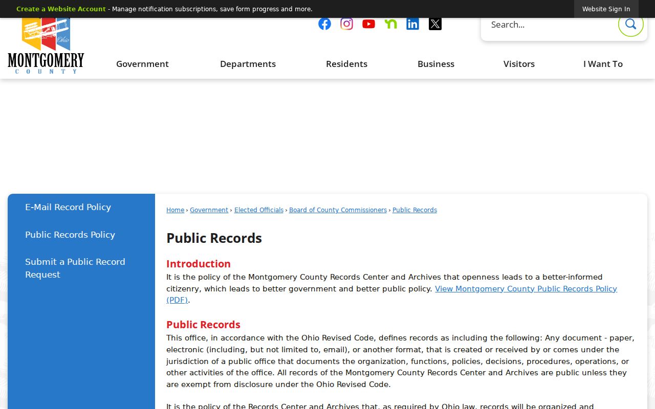
The routing page reinforces the distinction between an available record and a request that needs the correct producing office.
Dayton Neighbor Civic Contacts
Dayton's Resource Directory is the public contact layer for a block question. At inspection, it held 71 organization listings and offered Category, Name, A-Z, and pagination controls. Use those controls to find a publicly listed association, ask about open meetings or a published boundary, and let the organization decide what it can share. A directory listing does not show who belongs, who attends, or who lives nearby.
Dayton View Historic Association
Listed in the City's public directory. Use the public contact route for open-meeting or historic-district questions.
Dayton View Triangle Federation
A civic contact example for Dayton View Triangle, not evidence of membership or a private list.
College Hill Neighborhood Association
Find its public listing by name when an inquiry concerns community activity or a public meeting.
Belmont/Eastmont/Hearthstone Community Council
A listed community contact for these Dayton areas, with no implication that every nearby parcel participates.
Other public examples named in the research include Arlington Heights, Bartley Road, Carillon, Cornell Heights, St. Anne's Hill, DeWeese Ridgecrest, Huffman, Grafton Hill, Wright View, Wright Dunbar, Patterson Park, and Southern Dayton View. City Community Engagement grant material signals activity among some groups, not a map of private participants.
The Dayton neighborhood and community directory displays the public contact inventory used for this layer.
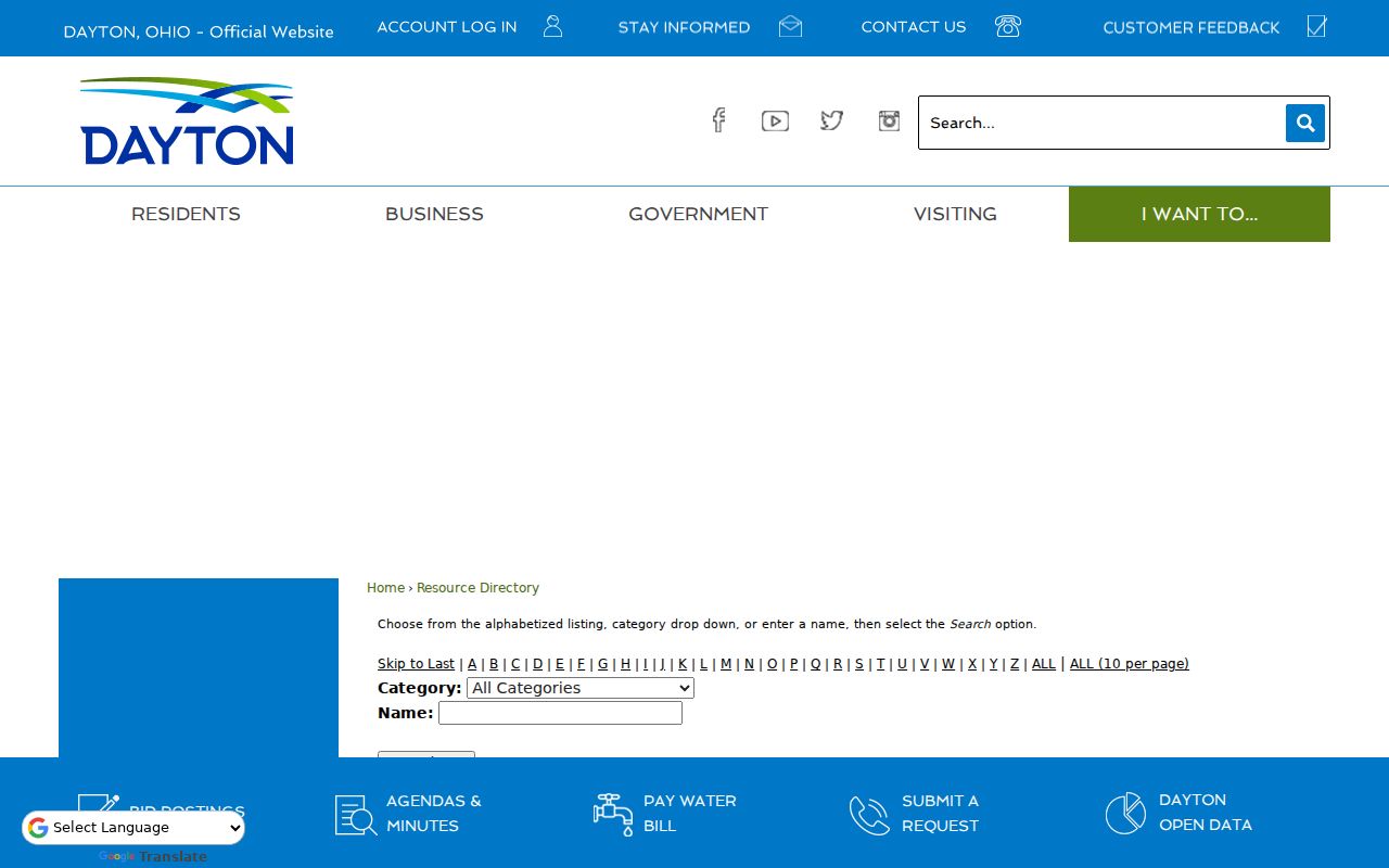
Use the controls pictured there to reach a public organization, not to infer a roster of Dayton neighbors.
The City's department contact directory is a separate way to identify the municipal office that holds a particular record.
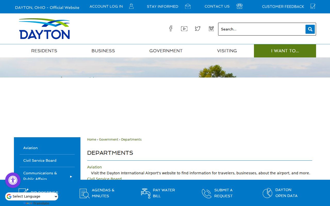
When a file is City-created, the department directory helps direct a focused request to the responsible office.
Dayton Neighbor Voter Boundaries
Ohio does not offer an approved address-radius browser for Dayton neighbors. The official Ohio Voter Search requires first name, last name, and county. Select Montgomery County. A returned record may provide registration, precinct, and polling-place information, and it may offer a dynamic street-name narrowing choice. It does not reveal ballot selections, and it cannot establish all people at one address.
The state's daily snapshot route is different again. It asks for an election, a start and end date no more than seven days apart, and counties; downloads are batch files, may take time, and links expire after 72 hours. Registration data has statutory exclusions, including Social Security and license numbers, phone and email data, Safe at Home information, protected-worker residential information, and other protected material. The Board of Elections is at 451 W. Third St., 937-225-5656, weekdays 8 a.m. to 4 p.m.
Better confirmation: Try a person's known first-name form, former surname, or previous county address in the named voter search. Do not turn a returned registration result into a block roster.
Note: R.C. 3503.15 governs public voter lists, while confidentiality rules still remove protected information from public access.
Dayton Neighbor Address-File Dates
A City file can add a date to the story of one parcel. Dayton's online permit service is limited to status checks, so a historic permit, code, or zoning question may need a focused request by address and date range. The core permit form identifies the kinds of existing fields that may be in a file, such as project address, permit number, applicant or owner contacts, work type, project description, estimated value, and review or inspection categories. Those fields reflect the file at a point in time. They do not establish a complete list of people at the address.
For a focused City request, use Dayton Public Records Requests, which routes requests to NextRequest and identifies Communications & Public Affairs at City Hall, 101 W. Third St., second floor, Dayton, OH 45402, 937-333-3616. One Stop handles project questions at 937-333-3883. Zoning Administration is at 371 W. Second St., 937-333-3904, weekdays 8:30 a.m. to 4:30 p.m.
The City public-records request route is the documented starting point for an existing address-file request.
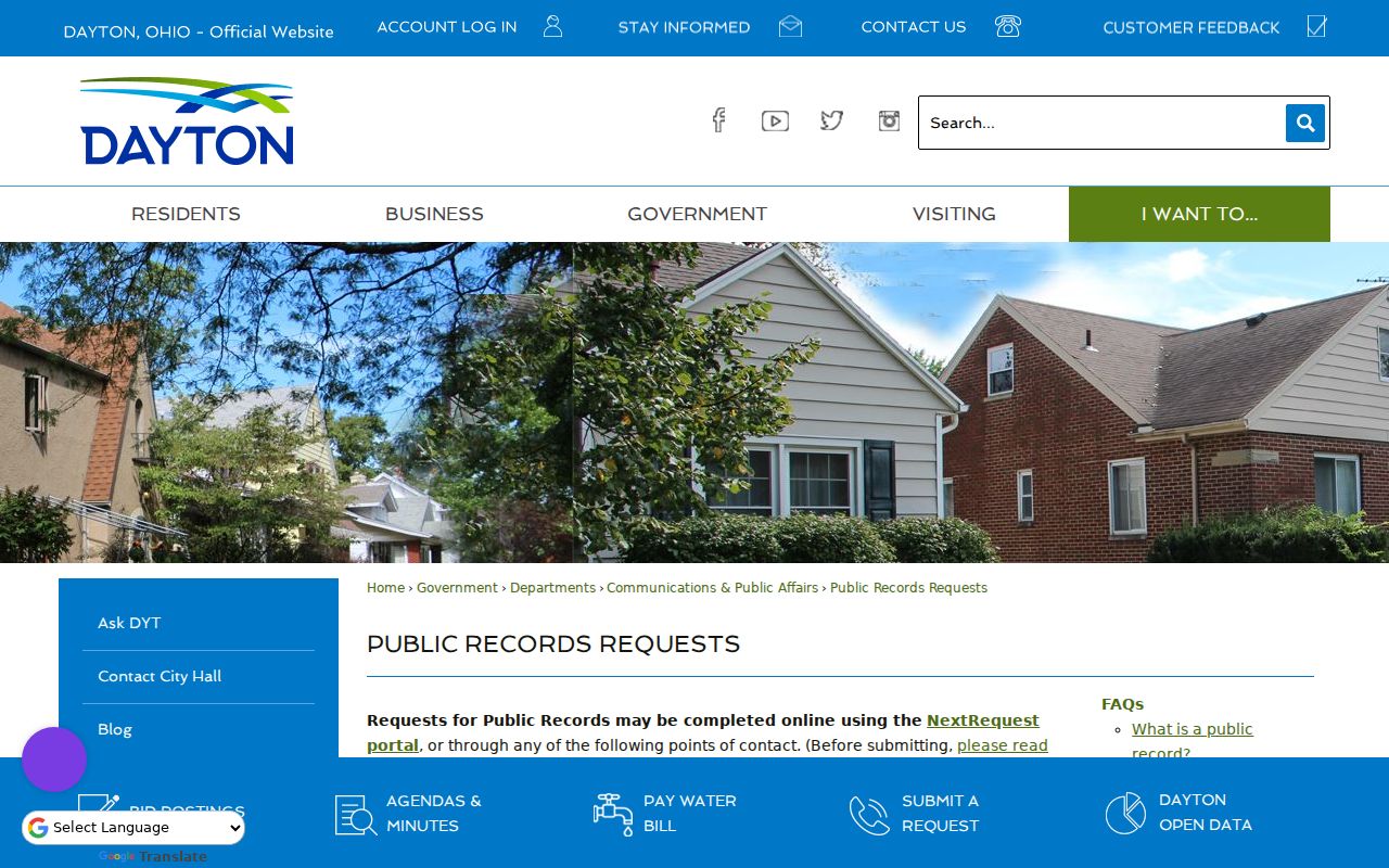
A clear request should identify the existing record, the address, and the relevant time range, rather than ask the City to create new research.
The City's fire and EMS report request page describes another route for existing fire, EMS, inspection, and related reports.
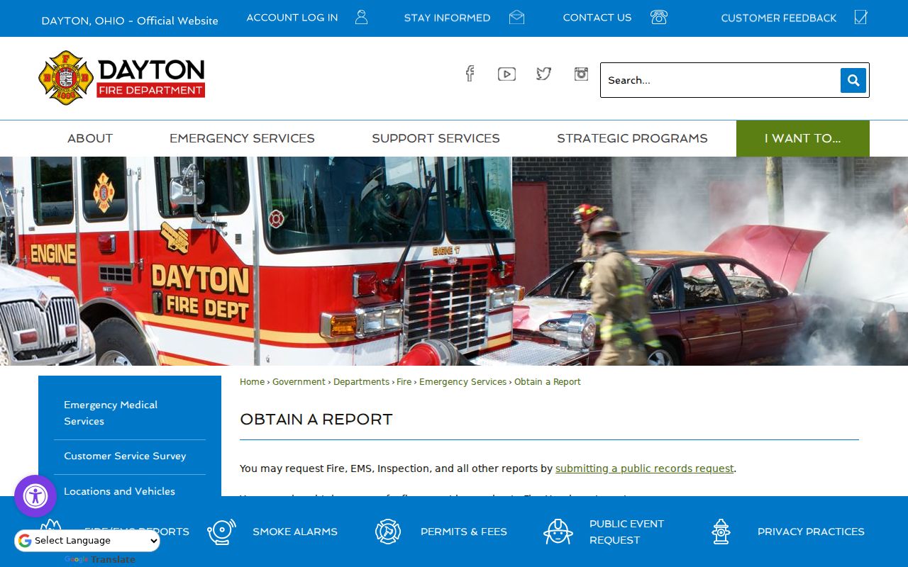
For an in-person fire-report copy, the documented location is Fire Headquarters, 300 N. Main St., second floor, weekdays 8 a.m. to 5 p.m., 937-333-4500.
Dayton Neighbor Map-Era Clues
Some Dayton blocks need a historical map before a modern parcel makes sense. The County Engineer's historic imagery begins in 1938. Images from 1938 through 1995 are scanned and georeferenced but not uniform; imagery from 2000 forward is orthorectified. The Dayton Room offers Sanborn access, Bailey's 1870 street guide supplies a street index and infrastructure context, and the 1875 county atlas adds city and township context. These sources test whether a lot, building pattern, or street arrangement existed in an era. They do not identify occupants.
Dayton's original Cooper plats of 1802, 1805, and 1809 established a wide-street grid, while later industrial and streetcar development produced different patterns. Dayton View and Grafton Hill's high-ground development differs from lower riverbank areas, and Belmont's 1900 traction-era growth differs from later curving plats. Match the historical street side and cross street with a year-specific directory entry and legal parcel description before deciding that an old and current address are the same place.
The City public-records FAQ explains the City's request standards, including specificity and possible redaction.
That guidance is useful when a historic address needs an existing City record rather than a guess based on current numbering.
Dayton Neighbors Source Comparison
Official records and commercial neighbor-lookup products answer different questions. A commercial category may bundle data for convenience, but a result can be old, incomplete, or hard to trace to its source. Start with the official record closest to the fact needed, then preserve the portal, date, and field label in a short log.
| Source type | Useful for | Limit to remember |
|---|---|---|
| Official parcel and recorded-document sources | Parcel geography, recorded ownership, legal descriptions, and transfer references. | Recorded owner and mailing data do not prove who is present at an address. |
| Official voter and City record routes | Named registration confirmation or a clearly described existing City file. | Protected fields, redactions, and search limits apply. |
| Commercial neighbor-lookup category | A lead that may suggest a source to verify. | Check every material detail with the actual custodian; do not rely on a compiled profile. |
Protect Privacy in Dayton Neighbor Searches
Several useful details are deliberately not public block data. Ohio Safe at Home, R.C. 111.42 through 111.43, provides a substitute address for eligible people facing serious safety risks, and protected Safe at Home information is excluded from public voter-database access. Ohio BMV personal data is nonpublic under R.C. 4501.27. Court files can have personal-identifier, sealed, and remote-access limits, while voter records exclude identification numbers, telephone and email data, and protected addresses. A private-directory opt-out also differs from a correction request to a government custodian.
Lawful use. Use Dayton neighbor sources for personal, lawful research, civic curiosity, reconnection, or public-safety awareness. Never use an address, parcel, or contact detail to stalk, harass, intimidate, or harm anyone.
Ohio's Public Records Act, R.C. 149.43, provides a route to inspect existing public-office records, subject to exemptions and redactions. It does not turn every address-related detail into public information. For a private publisher's data, use its secure opt-out channel; for a public record believed to be inaccurate, use the correction path of the office that holds it.
Note: The Ohio Attorney General's consumer-help line is 800-282-0515; the research verified no broad Ohio right to be forgotten or universal data-broker deletion law.