
Walk a Dayton Street by Address
A Dayton street directory search is a chain of record systems, not one street roster. Start with an exact address in the Auditor system. Keep the parcel ID, site address, owner name, mailing address if shown, legal description, and transfer clue. Next, put the parcel into the County GIS map and look at surrounding parcels as geography, not as a list of people. Use the current owner or legal description to reach the Recorder index. Historic directory and map material comes after the modern parcel has been carefully tied to an earlier address.
- Run the address through MCRealEstate and record the site address, parcel ID, and transfer reference.
- Open the parcel from the Montgomery County GIS route and compare the street segment or adjacent parcel geometry.
- Search RISS by the known owner, party, municipality, document type, or date, then inspect the legal description on the record image or counter source.
- Use Ohio's voter tool only to confirm a named registration record. It does not provide an approved browse-all-voters street search.
- For a past listed address, use Dayton Room criss-cross or city directories, then pair the year with a deed, tax record, census, obituary, or probate source.
Search Dayton Streets in MCRealEstate
The Auditor's address form asks for Street Number and Street Name, with an optional tax year. County guidance says to omit the direction and suffix from that input, use partial street text when useful, and test variants such as 3rd and Third. Sort choices include parcel ID, owner, and parcel location; results-per-page choices are 10, 15, 20, or 25. The owner screen follows a different rule: LastName FirstName is required and an asterisk can be used as a wildcard. Keep the full direction and suffix in a research note even when the form does not need them.
| MCRealEstate field | Use in a Dayton street directory search | Important format |
|---|---|---|
| Street Number | Matches the number portion of an address | Use with street name. |
| Street Name | Finds the street in address mode | Do not enter direction or suffix. |
| Tax Year | Limits an inquiry to a selected year | Optional in the Auditor form. |
| Parcel ID | Bridges property, tax, GIS, and deed work | Keep spaces exactly when required. |
| Owner name | Provides a separate name-based route | LastName FirstName; wildcards work. |
A parcel identifier is the safer handoff than a street string because historic names, directions, and numbers can change.
Map a Dayton Street Parcel by Parcel
The official Montgomery County GIS page links to the Auditor's interactive map. The map can search an address, street, intersection, coordinate, or map click. It also supports parcel selection, point, line, polygon, rectangle, and buffer selections in feet or miles, plus Document Viewer, measure, markup, export, print, and Street View tools. Use a selected parcel to compare geography and record the search date or map layer. The County cautions that GIS accuracy is not warranted, so the map is not a survey or title opinion.
The County GIS landing page is the source for this Dayton street directory map step.
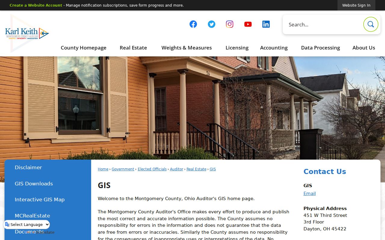
The map establishes proximity and parcel context. Confirm a listed owner in the Auditor record, and use a recorded plat or survey for an actual boundary question.
Dayton Street Deeds in RISS
When an address result supplies an owner or parcel lead, the Recorder's RISS index can continue the Dayton street directory trail. By Municipality permits the DAYTON municipal filter with an index type and optional lot, names, match choices, and dates. If a street number is not indexed, use By Name for the current owner, grantor, or grantee. The system also has By Type choices for deeds, deed corrections, mortgages, assignments, land contracts, liens, leases, plats, easements, sheriff deeds, and zoning records or maps. A mortgage or lien is not a transfer, so choose the document type that fits the question.
The RISS grantor and grantee search displays the official index controls.
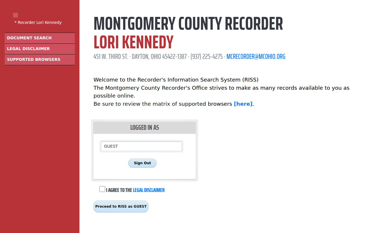
RISS requires guest acceptance of its disclaimer and relies on browser features such as JavaScript and pop-ups. Its Pre-1980 mode covers only 1971-1979 by year and document number, not the full historic deed run.
Dayton Street Records by Address
Address-keyed sources produce different parts of a Dayton street directory result. The parcel system is the starting point. GIS supplies map context. The Recorder follows ownership and instruments. The Treasurer contributes selected-year tax context. City permit and code files can add dated project activity. The voter tool is not an address browser, so it should be used only after a named person is known. Each row below identifies what the record actually supports.
| Address record | Keeper | What it can show | Access and limit |
|---|---|---|---|
| Parcel summary | County Auditor | Site, parcel, owner, mailing data, values, transfer clue | MCRealEstate; owner is not necessarily a resident. |
| Tax record | County Treasurer | Selected-year parcel, owner, assessment, payment context | Search parcel, owner, or address one route at a time. |
| GIS map | Auditor / Engineer | Parcel geometry, documents, imagery, adjacency | Map context only, not title or a legal survey. |
| Recorded deed or plat | County Recorder | Parties, record date, legal description | RISS, counter, and older books or microfilm. |
| Permit or code record | City of Dayton | Address-tied project, status, or enforcement trail | Status online; historical file needs request. |
A parcel number links the property, GIS, tax, and recorded-document layers. A street name is still valuable for directories and maps, but it is less stable across time.
- Parcel
- The county identifier for a property, used to join property, map, tax, and deed research.
- Situs address
- The physical location of the parcel, which can differ from an owner's correspondence address.
- Plat
- A recorded map that lays out lots, streets, or subdivisions; it is different from a casual GIS view.
- Criss-cross directory
- A street-ordered directory that can lead from an address to a historic listed name.
Dayton Street Numbers Need Their Grid
Dayton Code Chapter 152 makes Main Street the north-south baseline and Third Street the east-west baseline. Numbers run away from those baselines. On east-west streets, even numbers are on the south side; on north-south streets, even numbers are on the east side. The City permits 100 numbers per block and allows a number or whole street to be readjusted. Those rules explain why direction, suffix, cross street, lot, and legal description should stay in the research log even though the Auditor search asks for only the number and street name.
A street change is not a dead end. Search old and current names, then anchor the match with the legal description and historic street context. Dayton's 2023 Bainbridge segment change to Engagement Lane is one recent example of why a modern street label should not be forced onto every older record.
Dayton Street Permit and Code Files
Dayton's online permit system is limited to permit-status checking. For an older address file, ask One Stop or the City public-records route for existing documents by address and date range. A permit application can carry a project address, permit number, applicant or owner contacts, work type, square footage, construction or use, project or zoning description, estimated value, and review or inspection categories. It is a dated project record, not proof of every person connected to a street.
The City permit-status page is the online Dayton street directory entry point for this record type.
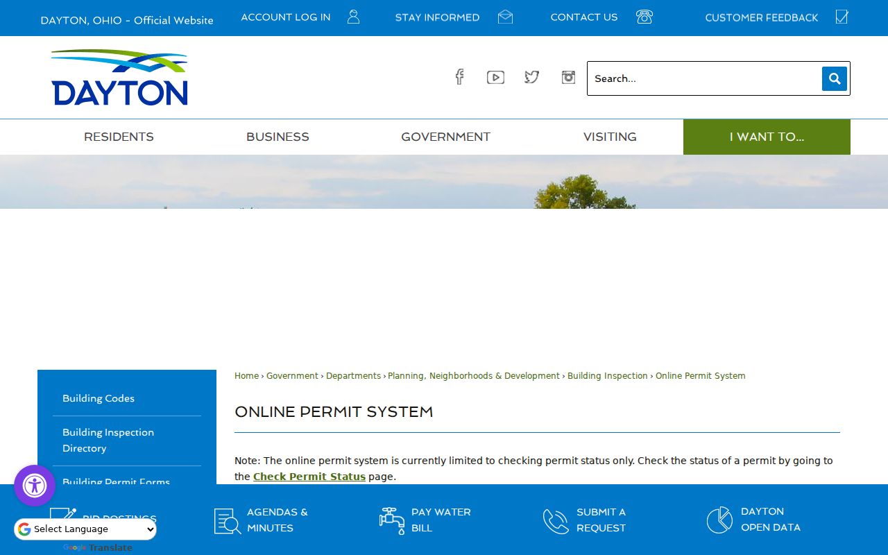
The online status result can point to a project. The underlying historical file remains a request-and-custodian question.
The City inspection service lists code, inspection, zoning, and permit-status contact routes.
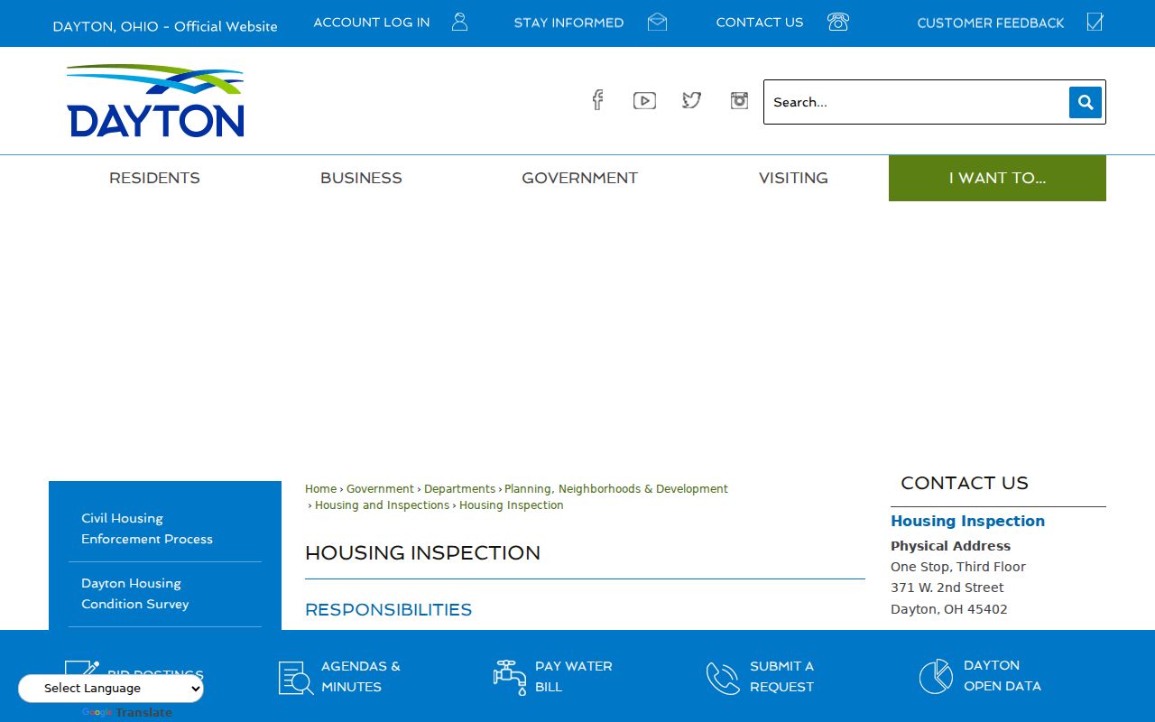
Use an existing code-case status or zoning record only for what it documents at that address and time. A City office does not have to create a new analysis when no matching record exists.
Dayton Street History Beyond the Web
The Montgomery County Recorder keeps the essential counter path when RISS does not return an older transfer. The Recorder's house-history guidance says alphabetical grantor-grantee and tract indexes are available from 1805 forward in books and microfilm. The County archive documents deed records for 1805-1933 and a deed index for 1805-1928. Those physical dates are not online-coverage claims. The Recorder's fifth-floor indexes and the Records Center research room supply the fallback when the web index ends.
The Recorder service page identifies the office behind this Dayton street directory route.
Ask archive staff for a full name, record type, and time range. For Dayton urban lots, the Abstract Book City route can connect a lot range to seller, buyer, deed book, mortgage book, and page without guessing from a changed street number.
Dayton Street Directories Add the Past
Once the parcel and time period are known, the Dayton Room's Haines criss-cross and Polk directory titles can add a historical listed name or business at an address. The city directory holdings are a shelf-based and cataloged resource, not a promise that every year or address is online. Pair a criss-cross entry with the volume year, a nearby census release, tax duplicate, deed, or newspaper citation. The goal is a transparent time line, not an unsupported claim that the earlier street number is automatically the modern parcel.
Historic visual context is available through the Dayton Room's Sanborn access, the 1870 Bailey Street Guide, the 1875 Montgomery County atlas, and County Engineer imagery from 1938 forward. The 1938-1995 imagery is scanned and georeferenced but nonuniform; imagery from 2000 forward is orthorectified. None of those map sources names all occupants.
Limits of a Dayton Street Directory
A street search can show a parcel, a recorded owner, a tax record, a dated permit, or a historic directory listing. It cannot reliably show every person at an address. Renter and household lists, utility and delivery-customer information, BMV personal-address data, Safe at Home information, protected voter fields, and confidential court material are not a public street roll. Ohio voter search confirms a named record, not all registrations along a block. The separation matters because a public record may be accurate for its own administrative purpose while still being incomplete for a street question.
Lawful use. Dayton street and address records are for personal, lawful research. Never use them to stalk, harass, intimidate, or harm another person; Ohio law can prohibit that conduct.